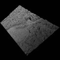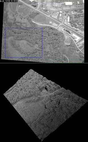
An example of terrain geometry reconstruction.
To help
Rockwell-Collins develop wide area, persistent surveillance capabilities, JPL is providing software capable of generating high fidelity terrain reconstructions. The reconstructions combine camera array imagery, aircraft state information, and pre-existing low-resolution terrain maps. JPL is supporting software integration and testing on an existing Rockwell-Collins prototype surveillance platform and calibrating an existing Rockwell-Collins multi-camera array sensor to provide seamless, wide-format image input for the terrain reconstruction code. The goal of the calibration is to provide pixel level accuracy in camera-to-camera image registration. This will produce a single, wide format, virtual image, from the camera array.